
GEOCORE CIVILS
CAD Surveys
Measured site information presented in clear drawings for planning and coordination.
Previous team experience · planning the details
THE WORK IN DETAIL
A useful survey gives the project team a reliable picture of the site before construction decisions are made.
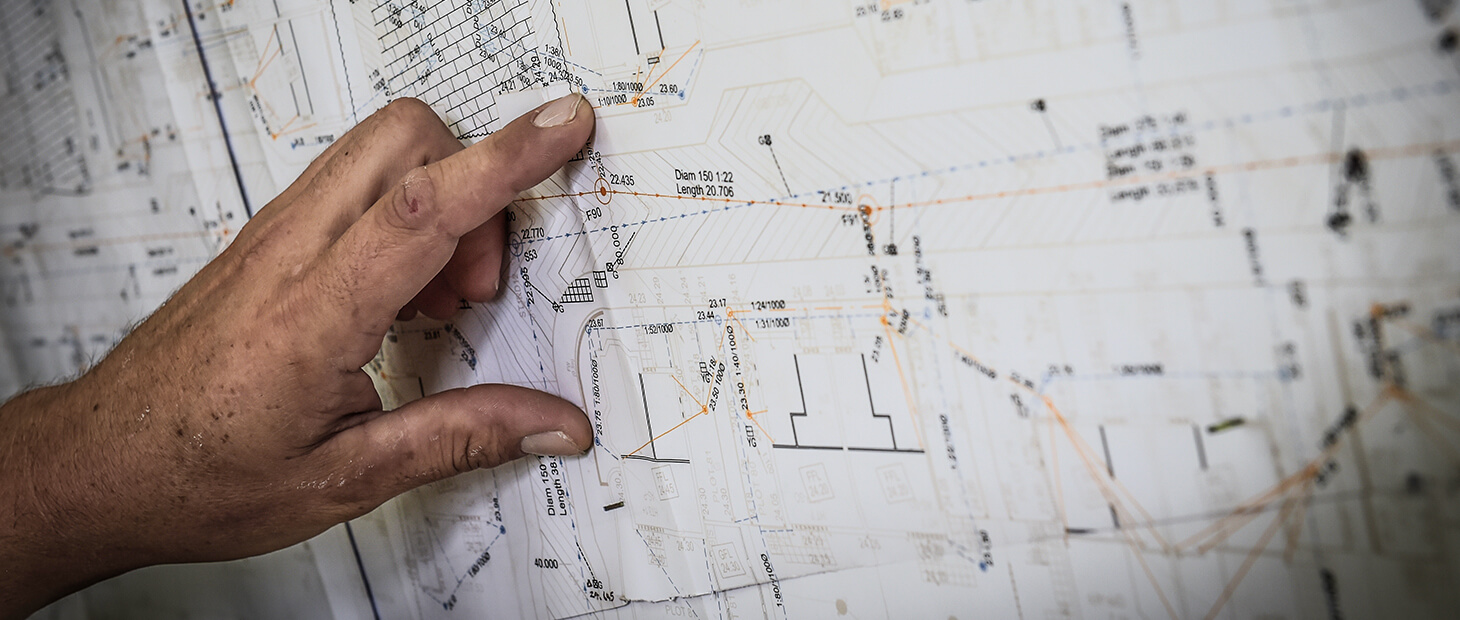
CAD drawings translate measured survey information into a format that designers and site teams can work with. Depending on the brief, this can include ground levels, visible features, building positions and the relationship between different areas of a development.
We discuss what the survey needs to support, the required coverage and the drawing format before work begins. Clear annotation and agreed survey limits help the information fit into the wider design and groundworks package.
SCOPE OF WORKS
What the package covers.
- Topographical survey requirements
- Measured site features and levels
- Scaled, annotated CAD drawings
- Coordination with project information
Let’s look at your project
Tell us the site extent, intended use and required drawing format.
CONNECTED WORKS
Part of the wider picture.
LET’S TALK ABOUT YOUR NEXT PROJECT
A good start is a conversation.
Plans on paper or a site ready to go? Let’s talk through the work, arrange a visit and take the next step towards an estimate.